


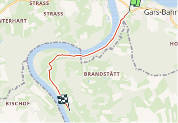

3.7 km | 4.3 km-effort

Tous les sentiers balisés d’Europe GUIDE+


FREE GPS app for hiking
 SityTrail
IGN / Geographical institutes
SityTrail World
The world is yours!
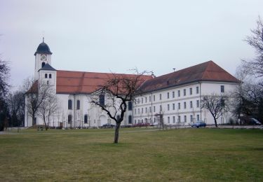
Trail On foot of 4.1 km to be discovered at Bavaria, Landkreis Mühldorf am Inn, Gars am Inn. This trail is proposed by SityTrail - itinéraires balisés pédestres.
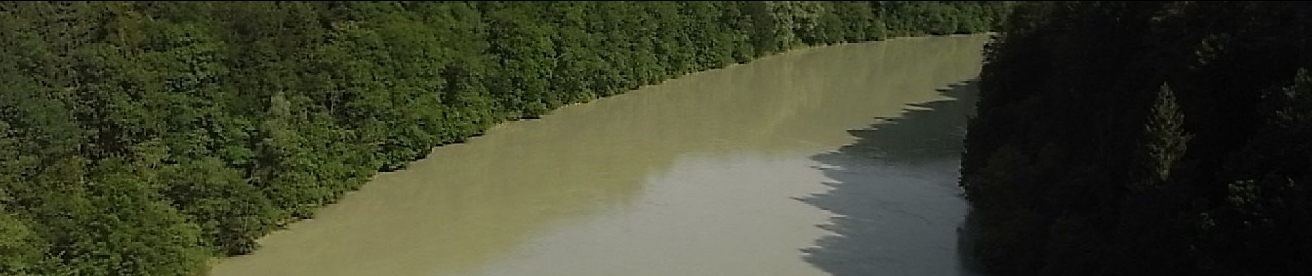
Symbol: Weiße Schilder mit rotem Wanderer, Richtungspfeil und der Aufschrift "Im Inndurchbruch"


On foot
On foot
On foot

On foot
On foot